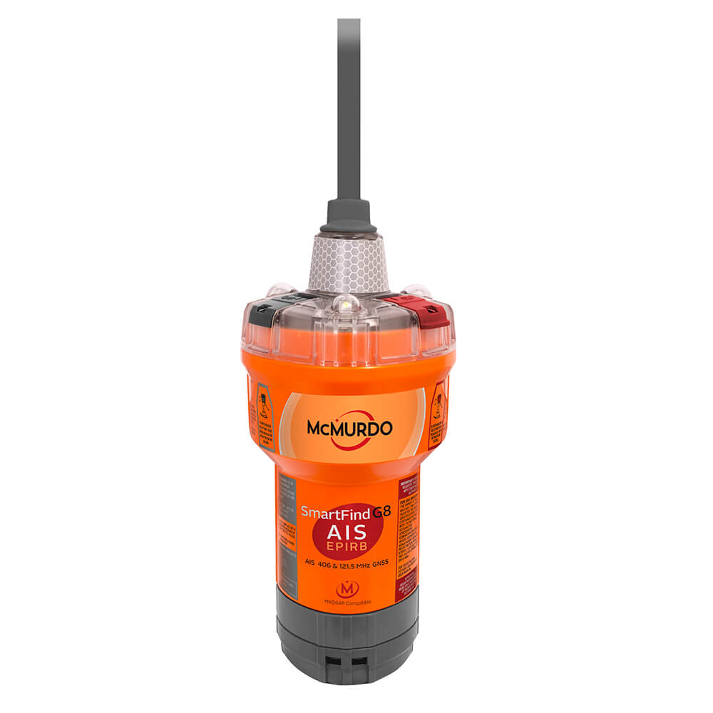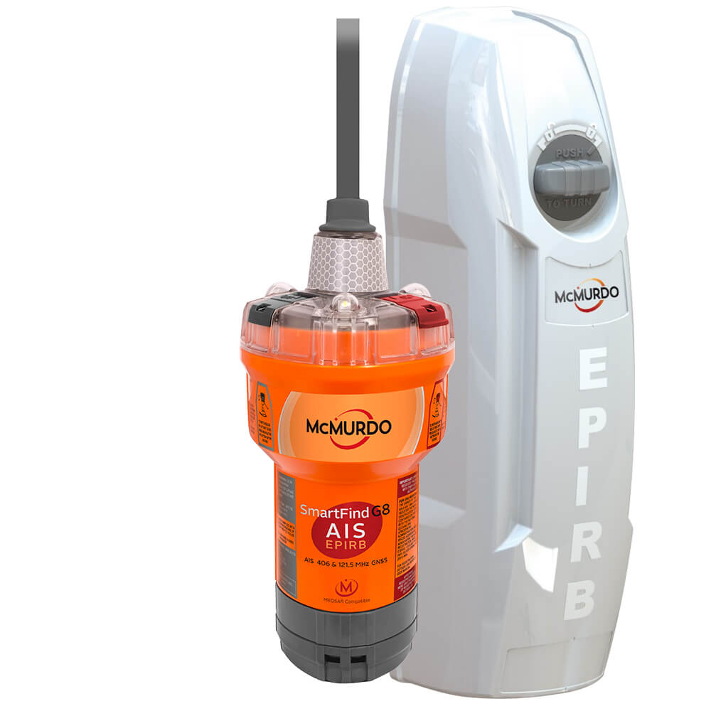

McMurdo SmartFind G8 AIS EPIRB
Aquamare uk
Options:
Options
Quantity:
McMurdo SmartFind G8 AIS EPIRB
SmartFind G8 AIS EPIRB - An Emergency Position Indicating Radio Beacon (EPIRB) is a safety device carried by a vessel to alert search and rescue services and allow them to quickly locate you in the event of an emergency. When activated it transmits a coded message on the 406 MHz distress frequency which is monitored by the Cospas-Sarsat satellite system. The alert is then relayed via an earth station to the nearest Rescue Coordination Centre (RCC). As the satellites are in a polar orbit they offer true global coverage – with an EPIRB you can summon help wherever you are on the planet, no matter how remote. An EPIRB forms part of the GMDSS mandated equipment package required by law for all commercial vessels over 300 tons, however many non-mandate vessels and leisure boats choose to carry an EPIRB to improve safety and they have been responsible for saving hundreds of lives since they have been introduced. Designed to meet the requirements of both the commercial and recreational user, the McMurdo SmartFind G8 GPS AIS EPIRB features transmits on 406 and 121.5MHz and includes a high brightness LED light which helps rescue services locate you at night or in poor visibility. Location is determined within 5km (3 miles) by measuring the doppler shift of the EPIRB’s signal through the Cospas-Sarsat network. Once in the area, rescue services are then able to pinpoint your precise location using inbuilt 121.5Mhz homing transmitter. The McMurdo SmartFind G8 GPS AIS EPIRB adds the localised locating and tracking power of AIS. The McMurdo SmartFind G8 GPS AIS EPIRB also features addition of a high performance, 72-channel GNSS Receiver using both the GPS and GLONASS satellite constellations and also Galileo (due 2017). The McMurdo SmartFind G8 GPS AIS EPIRB also features faster alert detection on the 406MHz frequency though compatibility with MEOSAR, a new search and rescue infrastructure which will be rolled out by Cospas Sarsat. When fully deployed the aim is: Determine beacon location within 5km, 95% of the time, within 10 minutes.Features
- 72 MEOSAR satellites positioned at Medium Earth Orbit altitude.
- Near instantaneous beacon signal detection using bent pipe technology – average 46 minutes faster compared to LEOSAR.
- Reduced response times with multiple signal bursts to improve speed and accuracy of location calculation.
- Close to 100% reliability due to multiple antenna systems and MEOLUT networking.
- When fully operational next generation beacons will also have a return link signal through Galileo satellites : Acknowledge signal receipt and Control beacon – remotely activate, turn off or confirm false alarm.
- SmartLight - 3 lights, 360 degree coverage.


